
The most wooded county in England has over 2000 miles of public rights of way for us to enjoy, The diverse landscapes of Surrey - farmland, pretty villages, downland, heathland and woods - are all waiting to be explored on foot.
Here is a selection of some of the best walks in Surrey. They are all links to the website www.fancyfreewalks.org - an excellent resource with over 500 interesting, well-researched and free walks across the Home Counties. They are ordered from west to east.
Click on a walk title to download a PDF containing full directions, a map, and details of points of interest.
Map of the walk start points (opens in new window)
 |
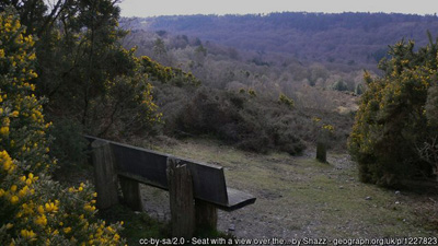
Frensham Little Pond, Devil's Jumps, Sculpture ParkThis is a most unusual walk incorporating a landscape of lakes, sudden surprise views, a heather trail, some geology and a cultural treasure-trove.
|
 |
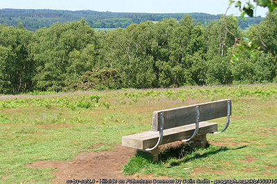
Round the Punch BowlThis walk takes you along the rim of the Punch Bowl, across to the opposite side and over the highest points with spectacular views.
|
 |
Puttenham and the Welcome WoodsFrom spectacular Puttenham Common through picturesque Puttenham village and on to the welcome woods.
|
 |
Chobham CommonA stunning walk over the high pine-topped heath of Chobham Common, with a short, more open section around the nearby verdant farm paddocks.
|
 |
Around Hascombe HillA glorious undemanding walk round a Surrey beauty spot with views in all directions.
|
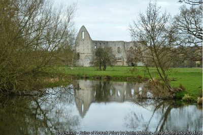 |
Ripley and the River WeyAn easy, level walk taking in a large lake and a lovely section of the Wey navigation.
|
 |
Albury Heath and BlackheathA woodland and heathland walk which is ideal on a bright winter's day, when the pine trees hold their green and the heath glistens in silvery dew.
|
 |
Friday Street, Leith Hill, Holmbury HillVisit Surrey's highest point on this walk through the noble Greensand hills, with several fascinating twists and unexpected encounters.
|
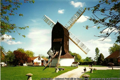 |
Outwood Common: two woods, oaks and buttercupsFrom buttercup meadows to great oaks, this walk has many unexpected turns and suprises.
|
 |
Limpsfield CommonOn a huge high sandy bank on the border with Kent, looking south over the Weald and north to the North Downs, lies a fascinating area of Surrey woodland known as Limpsfield Common.
|
A GPX file contains the location of each point on the route. It can be used by apps to display the route on a map background. On a mobile device with a gps receiver these apps will also show your current position, and so are an excellent aid to navigation. Two of the best known apps are Outdooractive (formerly Viewranger) and OS maps. There is a comparison of these apps here, (thanks to Mole Valley Ramblers) along with instructions for their use.